Northeast US weather forecast: rain and possible snow late this week
The National Weather Service is monitoring a coastal system for Thursday and Friday. Snow is possible at higher elevations, but its track and potential accumulation remain uncertain.
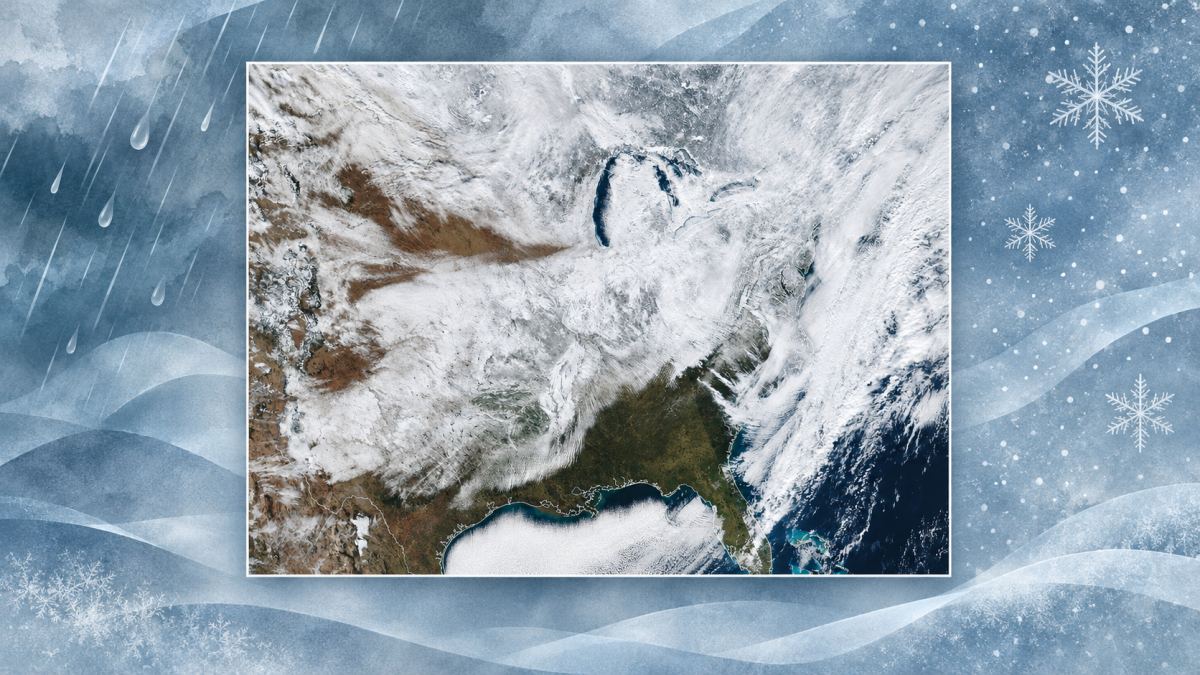
A low-pressure system could bring rain, wind and, in some higher elevations, a mix with snow to the northeastern United States between Thursday, November 12, and Saturday, November 14. Forecasts issued on Monday morning, November 9, differ on the system’s track and strength, making reliable snowfall totals impossible to determine for now.
Regional National Weather Service (NWS) offices expect a low to move out of the Ohio Valley and potentially contribute to the development of another near the Mid-Atlantic coast. The position of that coastal low and the timing of colder air will determine where rain or snow falls and how long precipitation lasts.
New York and Pennsylvania
The NWS office in Binghamton, which covers central New York and northeastern Pennsylvania, expects rain on Thursday. Recent projections have trended slightly warmer: a rain-and-snow mix or a change to snow could arrive around daybreak Friday, especially at higher elevations. Warm ground could make it difficult for snow to accumulate during daylight hours.
For eastern Pennsylvania and nearby areas, the Mount Holly, New Jersey, office expects a coastal system to affect the region from Thursday through Friday night. A substantial period of rain is possible; within its coverage area, the Poconos are among the locations with the greatest chance of snow. The amount and type of precipitation will depend on the storm’s track and temperatures.
For the New York City region, the NWS office in Upton is considering rain and gusty winds from late Thursday through Friday. It also says wet snow could mix with rain at higher elevations well inland on Friday night or early Saturday. Confidence in that possibility is low, the office says.
What could happen in New England
In eastern New York state, the Albany office has more confidence that colder air will arrive than in the storm’s precise path. Its scenarios range from valley rain and wet snow at higher elevations to little or no precipitation if the system passes farther away.
In southern New England, the Boston/Norton office describes a scenario with mostly rain across the region and possible wet snow on the eastern slopes of the Berkshires and in the higher Worcester Hills of Massachusetts. Other models suggest a different track and drier conditions.
What to watch
A shift in the low’s path can change both the amount of moisture and when colder air arrives. Possible snow on a mountain therefore does not mean nearby cities or valleys will also see snow. The forecasts reviewed do not establish a reliable region-wide snowfall total.
Travelers can check their local NWS forecast and any alerts before setting out, especially when using mountain roads. Forecasts may change as the system approaches.